Description
Description
Size: 320mm x 455mm
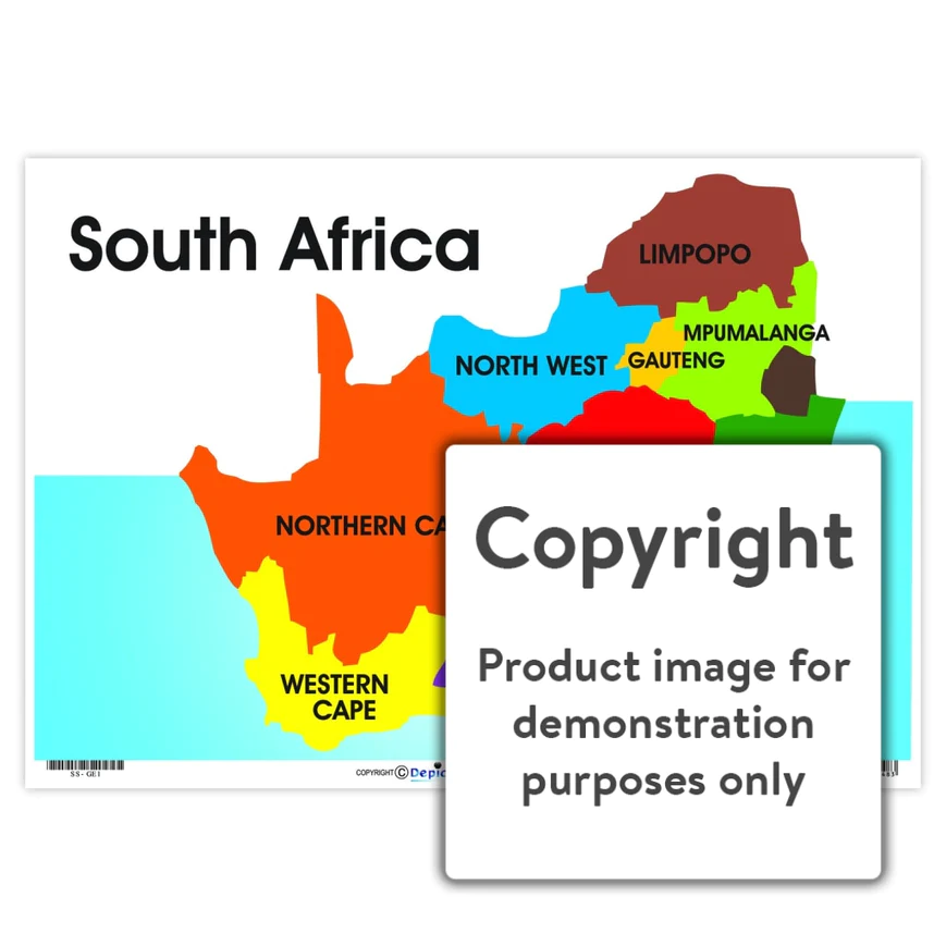
Full colour wall chart / poster of the map of South Africa. This chart names and depicts Limpopo, Mpumalanga, Gauteng, North West, Free State, Kwazulu-Natal, Northern Cape, Eastern Cape and the Western Cape.


