Description
Description
Size: 320mm x 455mm
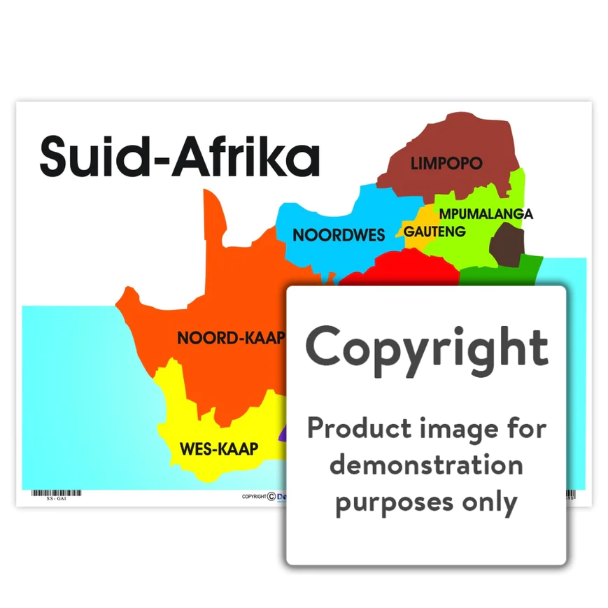
Full colour wall chart / poster of the map of South Africa, in Afrikaans. This chart names and depicts Limpopo, Mpumalanga, Gauteng, North West ” Noorwes “, Free State ” Vrystaat “, Kwazulu-Natal, Northern Cape ” Noord-Kaap “, Eastern Cape ” Oos-Kaap ” and the Western Cape ” Wes-Kaap “.


